The EU has spent nearly €10 billion on Copernicus, the most comprehensive civilian Earth observation system ever built. It has spent over €300 million on Destination Earth, a simulation platform designed to model the climate system at 5-kilometre resolution. Three EU regulations explicitly mandate the use of satellite data for compliance. Three more require environmental monitoring at a scale and frequency that only satellite data can deliver. Agriculture, supply chains, energy emissions, sustainable finance, biodiversity, and corporate reporting. Each regulation is building its own bespoke connection to the observation system. None of them references a common standard. The observation system does not produce one.
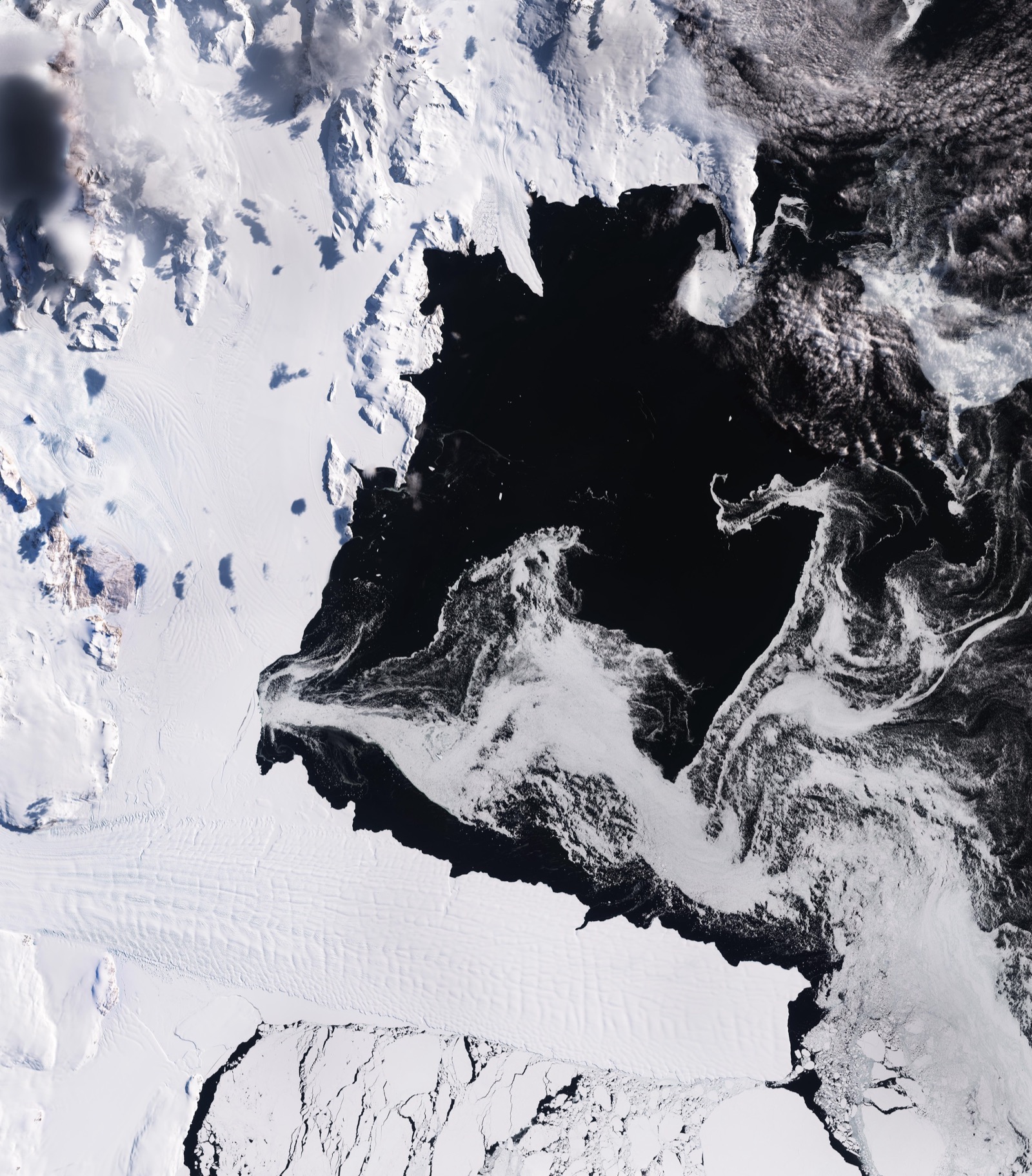
The summer of 2025 cost the EU €43 billion in climate-related losses, a figure that University of Mannheim and ECB economists described as conservative. Copernicus satellites tracked soil moisture deficits, thermal anomalies, and vegetation stress. Nobody was required to act on what the system saw.
What six regulations actually need
The gap becomes concrete when you look at what each regulation actually requires from the observation system. Six domains need satellite data. They share overlapping technical requirements: optical imagery for land cover change, temporal baselines for historical verification, asset-level hazard exposure, and validation standards for audit. And each domain has independently defined all of these from scratch within its own policy silo, without referencing what the others have built.
The Common Agricultural Policy’s Area Monitoring System is the most advanced case. Article 68 of the CAP financing regulation made satellite verification mandatory in 2024, requiring all member states to operate monitoring using “Copernicus Sentinel satellite data or data with at least equivalent value.” In practice, this means Sentinel-2 optical imagery at 10-metre resolution every few days during the growing season, combined with Sentinel-1 radar (SAR) for cloud-free coverage, validated against parcel boundary databases maintained by each member state. The system works. It was built entirely within agricultural policy, with its own resolution specifications, validation methods, and temporal requirements. It is disconnected from every other regulatory domain that needs the same underlying data.
The EU Deforestation Regulation needs satellite imagery to verify that commodities entering the EU were not produced on land deforested after December 2020. Polygon coordinates for plots over four hectares, point coordinates for smaller ones. In practice, this requires the same Sentinel-2 optical data, the same kind of land-cover change detection, and the same temporal baseline that CAP already uses. EUDR built its own geolocation and verification framework from scratch within trade and supply chain regulation, without referencing the methods CAP had already developed for monitoring land use using the same satellites. The regulation applies starting in December 2026 to large and medium operators.
The Methane Regulation of 2024 requires the Commission to establish a satellite-based monitoring tool by August 2026 and a rapid alert mechanism for super-emitting events. Legislated satellite infrastructure, built independently inside energy regulation, using different instruments (Sentinel-5P for atmospheric methane, commercial satellites like GHGSat for point-source detection) with its own detection thresholds and alert protocols.
The remaining three regulations do not explicitly name satellite data, but they require capabilities that are functionally impossible to deliver at scale without it. The EU Taxonomy’s “Do No Significant Harm” criterion requires climate risk assessments at the asset level: flood exposure, heat stress, and drought risk for specific locations. The Nature Restoration Law requires member states to demonstrate progress in ecological indicators, vegetation health, land cover change, and habitat condition throughout their entire national territories. The Corporate Sustainability Reporting Directive requires physical climate risk disclosure across operations and value chains, meaning some version of the same asset-level hazard exposure that the Taxonomy requires, applied to every facility a reporting company operates or sources from. No ground-based monitoring system can deliver any of this at the spatial coverage and temporal frequency these regulations demand.
EU regulation is always siloed. The agriculture directorate does not coordinate with the environment directorate, and nobody expects it to. But these six domains are unusual because they share the same underlying data source, unlike other regulatory silos. Six regulatory domains pulling data from the same Copernicus observation system. At least three require Sentinel-2 optical imagery for land cover and land-use change. At least three need asset-level climate hazard exposure. Multiple need temporal baselines stretching back years. All need validation standards to make compliance auditable. Each domain has independently defined its own resolution requirements, temporal frequency, validation methodology, and reference datasets. The Common Agricultural Policy does not reference the Deforestation Regulation’s land use methods. The Methane Regulation does not reference the Taxonomy’s climate risk framework. No horizontal standard exists that says: when EU law requires satellite-derived environmental data, this is what it looks like.
The JRC’s Knowledge Centre on Earth Observation is running a Deep Dive assessment on exactly this question through its work on Earth Observation for Compliance Assurance. It is not binding.
Why the public system doesn’t provide it
Copernicus produces data. DestinE produces simulations. Neither produces the standardised compliance-ready outputs that these six regulations need. The gap is a design choice, consistent across every phase of EU Earth observation investment.
The EU’s approach has been to build the best possible observational and simulation capabilities, make the data openly available, and trust that a downstream ecosystem will form around them. Copernicus operates on a “full, free, and open” data policy. The EU Space Regulation of 2021 says nothing about requiring anyone to use satellite observations. DestinE’s design is a platform that users come to: run simulations, explore what-if scenarios, and make decisions based on what they see. Phase 3, confirmed in February 2026, lists EUMETSAT’s top priority as “fostering institutional user uptake.” After four years and over €300 million, the system’s design still assumes adoption will come through outreach rather than requirement.
The operational expression of this design choice is co-design workshops with institutional stakeholders, User eXchange meetings between the same agencies that built the system, and stakeholder consultations that produce roadmaps published as PDFs. The process is thorough, inclusive, and thoroughly internal to the EO community. The compliance officers, risk managers, and sustainability reporting teams who will determine whether these six regulations succeed or fail are not in the room. They do not know this system exists. Nothing in the current design requires them to find out.
There is one domain where this problem has already been solved. When Numerical Weather Prediction processes observations from radiosondes, ground stations, radar, satellites, and ocean buoys, it produces METAR and TAF: standardised weather reporting formats that feed directly into flight management systems and operational workflows. No pilot logs into NWP. No airline chooses to subscribe. The output is embedded in the decision, and ICAO Annex 3 made it mandatory in 1948. The mandate forced the standard. The standard enabled the infrastructure. The infrastructure made the downstream market possible.
The EU has built the observation system and the simulation platform. Six regulations are creating the mandates. The layer between them, a standard that would define what “Copernicus-derived compliance data” looks like and how it flows into regulatory workflows, does not exist. Every phase of EU EO investment has been designed on the assumption that this layer will emerge from the ecosystem. That assumption has held across two decades of investment, and the layer has not appeared because standards require definition and enforcement. They do not emerge from workshops.
Why everyone bets on applications anyway
So the standard does not exist, and the public system is not designed to produce it. Something has to fill the vacuum. What fills it are hundreds of companies, each independently building the bridge that infrastructure would once have provided.
A founder looking at this landscape sees six regulations arriving, compliance officers who need answers now, and no public standard to build on. The rational move is to build the proprietary bridge and charge for it. Overstory builds its own vegetation risk standard for utilities and sells it. Kayrros builds proprietary methane monitoring and sells energy market intelligence. Every analytics company in the EO value chain, LiveEO for pipeline monitoring, Satelligence for deforestation tracking, Orbital Insights for retail and finance, follows the same logic: acquire raw Sentinel or commercial imagery, build proprietary preprocessing, produce sector-specific output. The first two steps are repeated hundreds of times across the industry because the public system does not do them once in a standardised way.
The EU’s own strategy reinforces this pattern. The Commission’s 2016 Space Strategy for Europe called for stronger links with the “commercial downstream sector.” Copernicus describes its purpose as enabling “downstream services” and “commercial applications.” The entire value chain is oriented around the idea that value gets “added” at the application layer and that the raw observation is a commodity. Planet Labs sells “insights.” Capella Space markets “customer applications.” Satellogic frames its work as “value-added B2B and B2C solutions.” The vocabulary encodes the assumption that the application layer is where the industry belongs.
Each company that builds a proprietary bridge is behaving rationally. Each company that monetises the gap also reduces the pressure to close it. The more startups build proprietary connections between Copernicus data and regulatory compliance, the more stakeholders develop a vested interest in the gap persisting. The downstream ecosystem that the EU explicitly called for is what prevents the public standard from ever being built. The absence of infrastructure is the business model, and the business model lobbies against its own obsolescence.
What this means for founders and investors
If you are building an EO applications company, you are betting that the public standard never arrives. If it does, your proprietary bridge becomes redundant. Every company that built bespoke preprocessing on top of open Copernicus data faces the same structural risk as companies that built proprietary middleware on pre-standard web infrastructure in the 1990s: when the standard arrives, the proprietary layer loses its value.
If the standard never arrives, the position is not much better. Your company is perpetually rebuilding infrastructure that should be public. Your preprocessing pipeline is a cost centre that your competitor also maintains. Your differentiation lives not in the bridge itself but in the domain expertise on the far side of it, and domain expertise without structural advantage is a services business that happens to use satellites.
The real opportunity lies with whoever builds the connecting layer: a standardised, validated, asset-level environmental exposure product produced continuously from Copernicus data, at a resolution and update frequency that EU compliance frameworks can reference by name. Flood, heat, drought, land cover change: different input pipelines, different validation methodologies, but the same output schema. An asset, a hazard, a severity, a confidence level. One product, not four.
The closest precedent is the CAP Area Monitoring System, which proves the model works when a specific regulation mandates a specific use of specific satellite data with specific validation standards. The question is whether the remaining five regulatory domains will each independently replicate what CAP built, producing six parallel systems that draw from the same observation infrastructure, or whether someone defines a horizontal standard that connects them.
The instinct is to call this a governance play: it requires regulatory authority, institutional coordination, and patient capital that venture timelines do not accommodate. And the governance layer is real. The value of this product is the standard, not the data. Anyone can build a flood model on Copernicus data. The moat is the reference that regulators point to.
But credit ratings were not designed to serve as a governance infrastructure. They became it. FICO started by selling credit scores to individual lenders. Bloomberg started as a terminal for bond traders. All of them became the standard because they got adopted first, and regulators pointed to them because they already existed. The question is whether this needs regulatory authority to start, not just to exist.
The EU has an observation system. It has a simulation platform. It has six regulations creating demand. It has a commercial ecosystem that monetises the gap between observation and decision. What it does not have is the layer that would make any of this infrastructure rather than a collection of tools, platforms, and proprietary bridges.
Without that layer, €10 billion in public investment produces the world’s most expensive dashboard.
Sources
Copernicus programme budget: EU Multiannual Financial Frameworks 2014-2020 (~€4.3B) and 2021-2027 (€5.4B)
Destination Earth: Digital Europe Programme work programmes, Phases 1-3. ECMWF, ESA, EUMETSAT implementing entities
DestinE Phase 3 confirmation and priorities: ECMWF press release, 1 February 2026
EUMETSAT Phase 3 priorities: EUMETSAT press release on DestinE Phase 3
EU Space Regulation: Regulation (EU) 2021/696
€43B climate losses: Dr Sehrish Usman, University of Mannheim and ECB economists, published September 2025
CAP Area Monitoring System: Regulation (EU) 2021/2116, Article 68
EU Deforestation Regulation: Regulation (EU) 2023/1115, as amended by Regulation (EU) 2025/2650 (application postponed to December 2026)
EU Methane Regulation: Regulation (EU) 2024/1787
EU Taxonomy: Regulation (EU) 2020/852, Climate Delegated Act Annex A
Nature Restoration Law: Regulation (EU) 2024/1991
Corporate Sustainability Reporting Directive: Directive (EU) 2022/2464, European Sustainability Reporting Standards E1
JRC Knowledge Centre on Earth Observation, Compliance Assurance Deep Dive: knowledge4policy.ec.europa.eu/earthobservation
Commission Space Strategy for Europe: COM(2016) 705
ICAO Annex 3: first adopted 16 April 1948, pursuant to Article 37 of the Chicago Convention (1944)
METAR/TAF standards: ICAO Annex 3, Meteorological Service for International Air Navigation